SAS Aerial
Fire
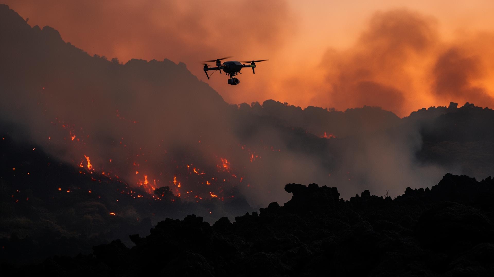
Aerial firefighting support, perimeter mapping, and rapid logistics for wildfire response.
Fire Perimeter Mapping
Real-time thermal mapping of active fire boundaries for incident command.
Aerial Suppression Support
Heavy-lift delivery of retardant and water to active fire zones.
Crew Resupply
Autonomous delivery of supplies and equipment to forward fire lines.
Post-Fire Assessment
Rapid damage and terrain assessment for recovery planning.
Hotspot Detection
Persistent thermal surveillance to identify flare-ups and hidden hotspots.
Evacuation Support
Situational awareness and logistics coordination for civilian evacuation.
Ready to discuss mission requirements?
Connect with our team to explore how SAS Global X capabilities can support your operational needs.